
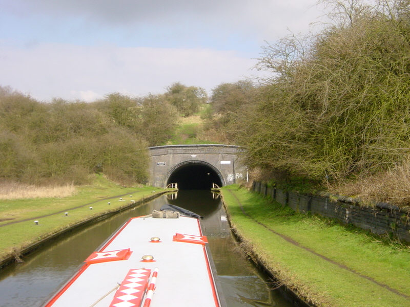
The southern end of Netherton Tunnel near Dudley. This view is approaching the tunnel from nearby Windmill End. The tunnel is 2768 metres long (1.72 miles). It was opened in 1858, is wide enough for two narrowboats to pass and has towpaths down both sides so that two-way traffic could operate back in the days when boats were horse drawn.
See Google Aerial View of this location.
See LiveSearch Birds Eye View of this location.
Showing posts with label Dudley. Show all posts
Showing posts with label Dudley. Show all posts
Sunday, 29 June 2008
Netherton Tunnel

Monday, 12 May 2008
Windmill End
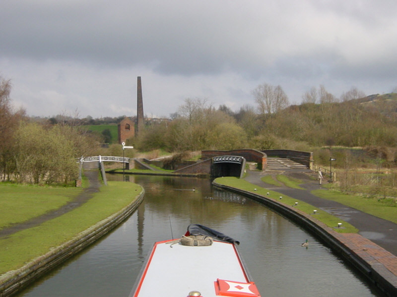
Windmill End Junction is a crossroads where the Netherton Tunnel Branch meets the Dudley No 1 and No 2 Canals and the short Boshboil Branch. Netherton Tunnel, with its towpaths along both sides, is a short distance ahead, to the left of Cobb's Engine House.
See Google Aerial View of this location.
See LiveSearch Birds Eye View of this location.
Monday, 14 April 2008
Merry Hill
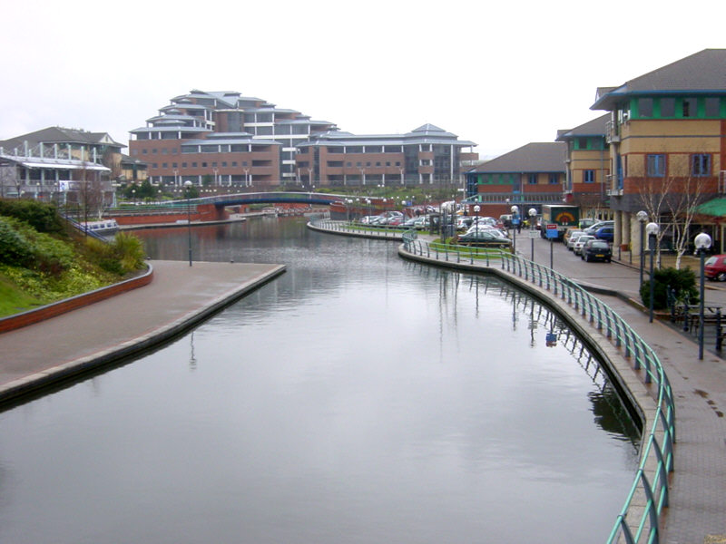
The Waterfront at Merry Hill, on the Dudley No 1 Canal near Brierley Hill. The Merry Hill Shopping Centre is behind the camera.
See Google Aerial View of this location.
See LiveSearch Birds Eye View of this location.
Subscribe to:
Posts (Atom)
